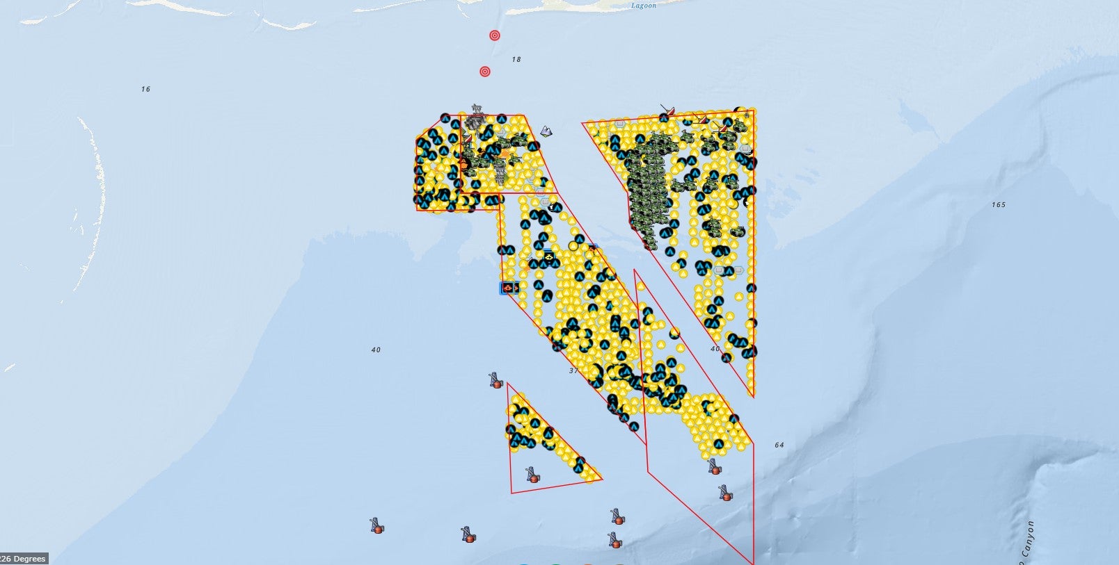
The interactive map contains information you may find helpful to plan your Alabama offshore fishing trips. The interactive map displays all of Alabama’s public artificial fishing reefs in the Gulf of America offshore of Alabama, provides a table that details the year each reef was initially constructed and the type(s) of materials used to construct each reef. Click here or on the image to use the interactive offshore reef map.
Offshore Reef Coordinates (Current as of September 1, 2024) – To properly download files, right-click the link and select “Save”
The Alabama Marine Resources Division (DCNR/MRD) creates artificial reefs to increase the ecological production potential and resiliency of reef associated biological communities offshore of Alabama. Hard bottom substrate is very limited along the water bottoms offshore of Alabama and the addition of purposely designed artificial reefs along this predominantly featureless seascape of sand and muddy substrates has proven to be extremely effective at increasing the biomass of reef fish populations including Red Snapper, Greater Amberjack, Gray Triggerfish, Vermilion Snapper, and many other important reef fish species. Furthermore, constructing high quality reefs throughout Alabama’s inshore, nearshore and offshore water bottoms maximizes the ecological stability and resiliency which allows the ecosystem to remain productive when subjected to disturbances such as hurricanes, increased fishing pressure and oil spills such as the Deepwater Horizon catastrophe.
Not only do these offshore reefs have an enormous habitat value, they also provide fishing and S.C.U.B.A. diving opportunities for outdoor enthusiasts. The culture of coastal Alabama is defined by fishing and the seafood industry. The first purposely built artificial reefs offshore of Alabama were deployed in the mid-1950s when charter captains deployed barge loads of car bodies cabled together offshore of Orange Beach and Dauphin Island. These first artificial reefs were formally recognized in 1961 when the United States Army Corps of Engineers (USACE) authorized a permit to recognize these areas as fish havens. Subsequently, a five Liberty ships were authorized for deployment as artificial reefs in 1974. Recognizing the ecological benefits of the early stages of the artificial reef program, the DCNR/MRD acquired authorization from USACE to designate large, continuous sections of water bottoms as artificial reef zones beginning in 1987. Managed by the DCNR/MRD, these large reef zones (approximately 1,093 square miles) allow members of the public to design, construct and deploy their own reefs by following a review/permit process through the DCNR/MRD. This public/government partnership has resulted in the deployment of over 25,000 artificial reefs since the start of the program and the reef zones are largely accepted as the most productive reef zone in the United States and is recognized internationally as one of the leading artificial reef programs in the world.


