By DAVID RAINER, Alabama Department of Conservation and Natural Resources
Nature lovers are blessed with abundant recreational and travel opportunities the Alabama Department of Conservation and Natural Resources offers in north Alabama, like Joe Wheeler State Park, Monte Sano State Park and several wildlife management areas. But the possibilities don’t end there.
For those who love to explore new territory, I’ve got a perfect place to get in a robust hike and learn a great deal about Alabama’s natural history and how Alabama’s beaches were once located in the upper reaches of the state.
Cane Creek Canyon Nature Preserve just a few miles south of Tuscumbia, Alabama, may not be on the hiking crowd’s radar, but it provides a unique look at one of the state’s most diverse habitats.
Jim and Faye Lacefield bought 40 acres in Colbert County about 45 years ago and turned it into a passion project that ballooned to more than 700 acres that included Cane Creek Canyon.
“We bought the back 40 of a property that was being divided,” said Jim, an award-winning educator in biology and earth science who taught the last 10 years of his career at the University of North Alabama (UNA). “That was all we had for a while, and then we added, little by little, land that nobody else really wanted. It was down in the canyon, and you couldn’t get to it very easily. We got the idea very early on that it would be a great place for a nature preserve because it was fairly unspoiled.”
One factor that contributed to the Lacefields’ land acquisition goals was the end of the prohibition of alcohol sales in Colbert County.
“When we came, it was right at the end of the big-time bootlegging days,” Jim said. “Every little hollow had a still or two. When the county went wet, it drove the bootleggers out of business, and we were able to buy some more land that wasn’t any good for anything except for bootlegging.
“It was hidden and hard to get to, but it had some things we really liked about it. The biodiversity was really high with lots of rare plants and lots of wildlife and fairly restricted access. We didn’t have any trouble with folks coming in and leaving trash or starting fires or anything.”
The Lacefields eventually acquired 713 acres that was groomed for public access to 15 miles of hiking trails that are rated as moderate in the hiking world because of the elevation change of about 350 feet from the canyon rim to the bottom. I have one suggestion after making the 3.25-mile trek to the overlook – have quality hiking shoes or boots that you lace tightly for the descent into the canyon. A visitor support station is at the entrance to the preserve with maps and loaner hiking sticks, which I highly recommend.
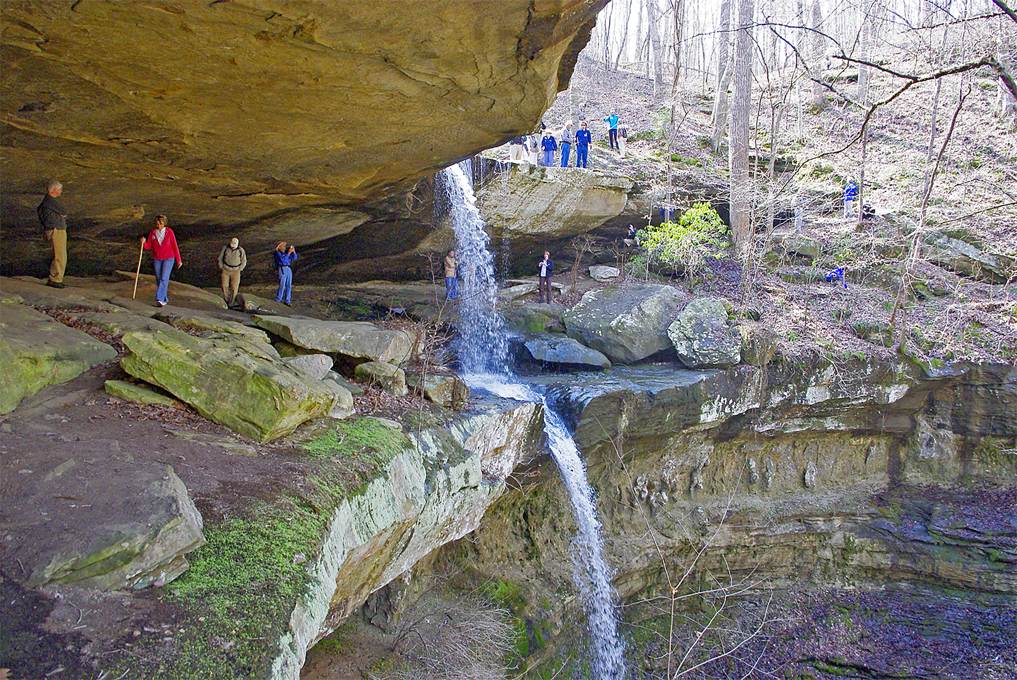
“We have some guided hikes we recommend,” Jim said. “One is a 3 1/4-mile hike that goes down into the canyon, past the waterfalls to the scenic overlook at the point. People who have a half-a-day can take the longer hike that ends up being about 7.5 miles, roundtrip. In all, we have about 25 miles of trails. There are about 12 good-size waterfalls on the preserve. The largest one is a 60-footer that is on the way into the preserve. Almost everybody sees it, but it’s just the first of many. There are several side canyons that come together, and every one of those has a waterfall at the head of it.”


