
Mobile Bay NEP Updates 'State of the Bay' Publication

Jason

Jason Kudulis was named Director of the Mobile Bay National Estuary Program following the retirement of Roberta Swann. Photo courtesy of MBNEP

By DAVID RAINER, Alabama Department of Conservation and Natural Resources

As the sixth largest estuary in the continental United States, Mobile Bay is a perfect example of Alabama’s great biodiversity with a variety of plant and animal species so vast it’s hard to grasp. With a surface area of 413 square miles in Mobile and Baldwin counties, the health of Mobile Bay is of primary importance for a variety of entities, including the Mobile Bay National Estuary Program (MBNEP), which recently updated its “State of the Bay” publication.

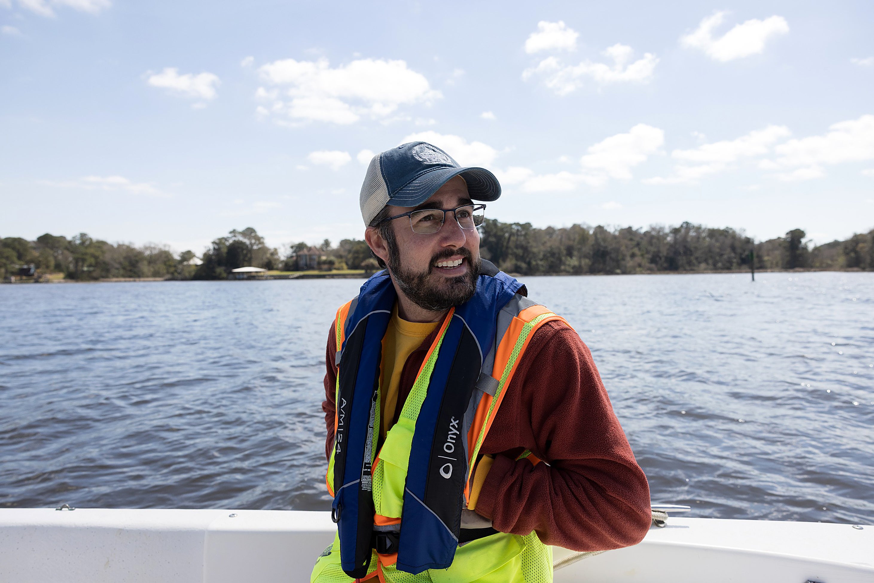
Mobile native Jason Kudulis was recently elevated to MBNEP Director following the recent retirement of Roberta Swann, who had been director since 2009. Kudulis said the “State of the Bay” (www.mobilebaynep.com/news/the-state-of-alabamas-estuaries-and-coasts-report) is an extensive effort to provide a status report on an ecosystem that encompasses not only Mobile Bay but the Mobile-Tensaw Delta and other estuaries that flow into the bay.

“The Bay is just such a large system with so many influences and inputs,” Kudulis said. “This is our best concerted effort since 2008 to try to synthesize all of those different data points, regarding not only marine-based science but also ecosystem management, land-use changes, geography and changes in population. We had to take all those ingredients and distill it into this pot of gumbo that gives us some kind of indication of where we’re at currently in the health and vitality of Mobile Bay system. It’s a comprehensive science-based snapshot of coastal health.

“The good news is we’ve had these generational, once-in-a-lifetime investments over the past 10-plus years as a result of Deepwater Horizon (oil spill settlement).”

Kudulis said the MBNEP efforts are based on the priorities of the interactions with those who live in coastal Alabama. That input drives the program’s Comprehensive Conservation Management Plan (www.mobilebaynep.com/ccmp).

“Those (priorities) include improving access, the health of beaches and shores and what they mean to our quality of life, obviously fish and wildlife, heritage and culture, resilience and water quality,” he said. “We’ve improved our situation on a lot of those, whether through the conservation of land through Forever Wild (www.alabamaforeverwild.com/) or the investments in restoration projects to increase community resilience and restore stressed habitats. Certainly, there are a lot more access points as a result of those investments as well.

“I think the room for improvement is keeping up with our monitoring and the collection of data to better understand this complex system. We’re only seeing a snapshot over a given period, depending on who’s studying what or their expertise. There are obvious gaps, of course, when you’re dealing with everything that’s going on in the watershed from Birmingham south.”

The Mobile Bay watershed covers about 65% of Alabama and portions of Mississippi, Georgia and Tennessee. The drainage system that flows into Mobile Bay covers 43,662 square miles, the sixth largest in the U.S. The Mobile Bay ecosystem is home to 300 species of birds, 310 species of fish, 68 species of reptiles, 57 species of mammals, 40 species of amphibians and 15 species of shrimp. 

“Then you have all these local watersheds from Fowl River to Magnolia River, Bayou La Batre and Mississippi Sound,” Kudulis said. “Then Mobile Bay is by itself a dynamic system. You can have a bad wind out of the east turn over the whole bay. Getting that picture is a challenge. Nothing functions in isolation, so there’s truly more work to be done to truly understand all those interactions.”

Kudulis said the ongoing research will try to determine the effects of human activity, climate variability and extreme weather.

“You can’t rely on the old data for that,” he said. “The timeline is compounding and increasing so rapidly. It’s a shift that we’re trying to get in front of.”

The Deer River project on Mobile Bay's western shore is taking dredge material and turning it into a tidal marsh. Photo courtesy of MBNEP

Kudulis said the 204-page “State of Bay” took more than a year to compile and is designed to be easily understood. 

“It’s kind of put into questions, like are we getting better or getting worse,” he said. “It can be picked up by anyone, not some expert.”

Kudulis said some of the issues that pique the public’s interest include water quality, which depends on location, storm water runoff, point sources of potential pollution and headwater wetlands conservation. 

“I think the Alabama Department of Conservation and Natural Resources (ADCNR), some of the regulation changes they’ve implemented have had positive impacts on our fishery,” he said.

ADCNR Commissioner Chris Blankenship serves as Chair of the MBNEP Executive Committee.

“Roberta has been a fixture at the MBNEP for almost two decades,” Commissioner Blankenship said. “She has done a good job working with the committees and members of the NEP and really set us up for success moving forward. She will be greatly missed!

“Jason has a different skillset and brings different abilities to the Director role. I am looking forward to working with him and leading the committees to continue the good work improving Mobile Bay and the surrounding watersheds. I have been the Co-Chair of the MBNEP for almost 9 years, and I have seen Jason interact with the staff and community and grow in his abilities. The NEP has a great staff.  I think the MBNEP is in good hands.”

Kudulis has been involved with many MBNEP projects as Deputy Director, including projects at Deer River, Fowl River and D’Olive Creek, where 3 miles of the watershed were restored.

“I can speak first-hand for Deer River,” he said. “We did a project right off the mouth of Deer River at Theodore Industrial Canal where we built a 19-acre containment site. As a result of the deepening and widening of the Mobile harbor, the (U.S. Army) Corps of Engineers brought that material to that site. We worked on that collaboration for years to make sure our timelines aligned. That project is not complete. We’re in a settlement period where we’re letting that material to be shored up so we can come back and create a tidal creek network and create a marsh.

“It’s a combination of trying to use this material, whether it’s fine-grain silt or coarse-grain sand, depending on where it’s appropriate.  The time, complexity and cost required are high in all of those goals. Some of these projects, I’ve been working on from three to seven years, and even after they’re constructed, we’ll do five years of monitoring so we can apply that to the next project.”  

Kudulis said the MBNEP also recently completed the aforementioned Comprehensive Conservation Management Plan, the third in the program’s history.

“The management plan is our 10-year plan, kind of our North Star,” he said. “We’ve been playing catch-up for the last few decades, just getting us to a place where we have a better understanding of conditions and then strategies to manage these things, whether watershed planning or strategic investment or situation outcomes. We’re thinking about all those things. With this third one, we know the funding landscape is going to change as we move past this Deepwater Horizon funding.”

Another aspect of ecosystem management that has changed in recent years is the increased understanding of the issues from the public to elected officials.

“We used to only talk about stormwater, extreme weather and water quality in certain circles,” Kudulis said. “Now you have this educated and informed army of decision makers who are doing those things as part of their platforms, and I think that is a real change we’ve seen. That’s something to brag about.

“Now we can talk about these strategic investments and being proactive before things fall off the tracks and we can surgically start to mitigate those issues with nature-based solutions, low-impact development and green technologies, not just the old way of doing things. That gives some optimism for where we’re headed.”

Kudulis said MBNEP will continue to strive to find the best available data to make management decisions that impact all aspects of coastal living.

“There’s a shared understanding now that is a universal truth for coastal Alabama that includes our heritage, our economy and our quality of life,” he said. “They’re basically inseparable from the woods and water that we work, live and play in. They are all interconnected.”

###


A MBNEP project at Mon Louis Island at the mouth of Fowl River protects the northern tip from erosion. Photo courtesy of MBNEP

Written by

David Rainer
Outdoor Writer
Back To News